SeferianDesign

Home Farm Development
The Blue Mountains, ON.
COMMUNITY DEVELOPMENT // VISUAL IMPACT ASSESSMENT
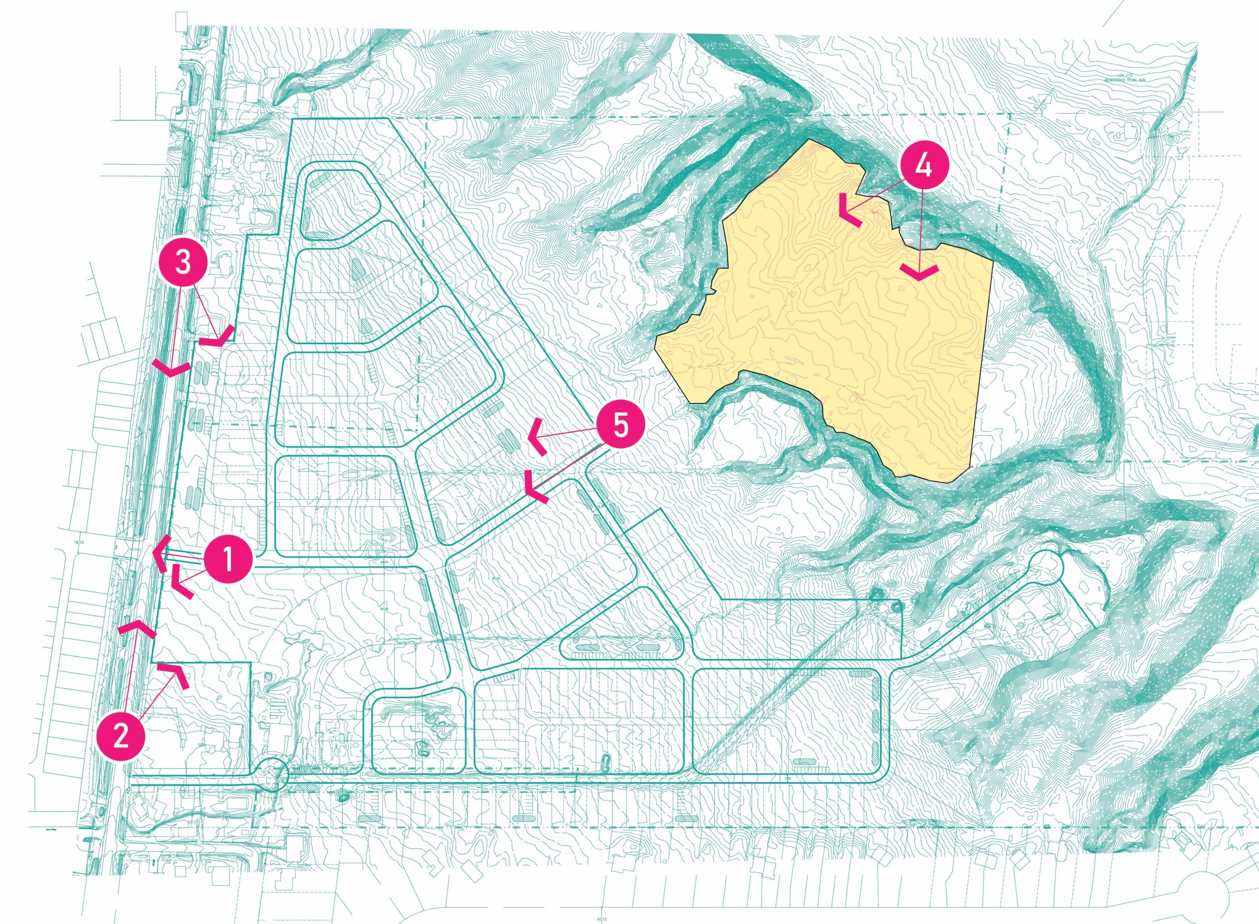
SDG was retained to prepare a Visual Impact Assessment (VIA) for a subdivision development (dubbed ‘The Home Farm Development’). Located in The Blue Mountains, the property is situated east of Grey County Road 19, south of Highway 26, and directly east of the Craigleith Ski Club.
The VIA objectives were to simulate, from selected visual receptors/ viewpoint areas, the visual change to the Escarpment landscape and character, based on the proposed development. Several objectives included:
- Develop a clear understanding of the site and its setting in respect of landscape character and visual amenity;
- Develop an understanding of the proposed development in terms of how this would relate to landscape character and visual amenity;
- Identify all potential direct and indirect effects of the proposed development upon the open landscape character, visual quality, and the Escarpment feature;
- Carry out an evaluation of any additional impact management actions that may be necessary to prevent, change or mitigate any negative environmental effects; and
- Prepare proposed mitigation recommendations for the proposed development based on the net environmental effects.
Using a combination of ArcGIS with Spatial Analyst, AutoCAD, and SketchUp Pro, our team created a digital terrain model of the subdivision as well as a viewshed map. The purpose of viewshed mapping is to objectively and accurately identify where proposed structures or built forms would be visible from existing and proposed roads and public lands. The final VIA report will include very specific NEC recommendation requests that The Blue Mountains will include in the final draft plan, zoning by-law, and servicing or subdivision agreements.
SeferianDesign is proudly powered by WordPress