Author: SefAdmin

  • Ironstone Condos

    Ironstone Condos

    Burlington, ON.

    COMMUNITY DESIGN  //  MIXED RESIDENTIAL  //  CONDOMINIUM

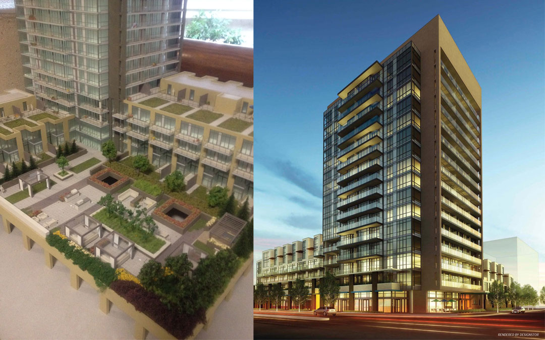
    With its mix of suites, lofts, and street level retail, Ironstone Condominiums is the ideal fusion of all the elements that create a neighbourhood community and a high quality residential development. Enviably located north of the lake, just east of the old Burlington Village, Ironstone is a building designed with flare and a dedication to quality.

    From the beginning Ironstone was designed to be green. Not only to help the buildings carbon footprint, but also to create everyday energy efficiency for everyone. Other green features within the building will assist in improving the overall eco-efficacy, including renewable energy generated by geo-thermal heat backed up by auxiliary solar elements and water conservation measures.

    Streetscape measures included decorative paving and ornamental plant materials to create a sense of place within the neighbourhood. The roof top terraces include outdoor kitchens, fireplaces, sunbathing areas, hot tubs, walkways, landscaped courtyards, and resort-style private cabanas and seating areas. The landscape is about making the most of leisure, function, and relaxation.
  • Wilmot Trails

    Wilmot Trails

    Wilmot Township, ON.

    TRAIL DEVELOPMENT  //  COMPREHENSIVE PLANNING

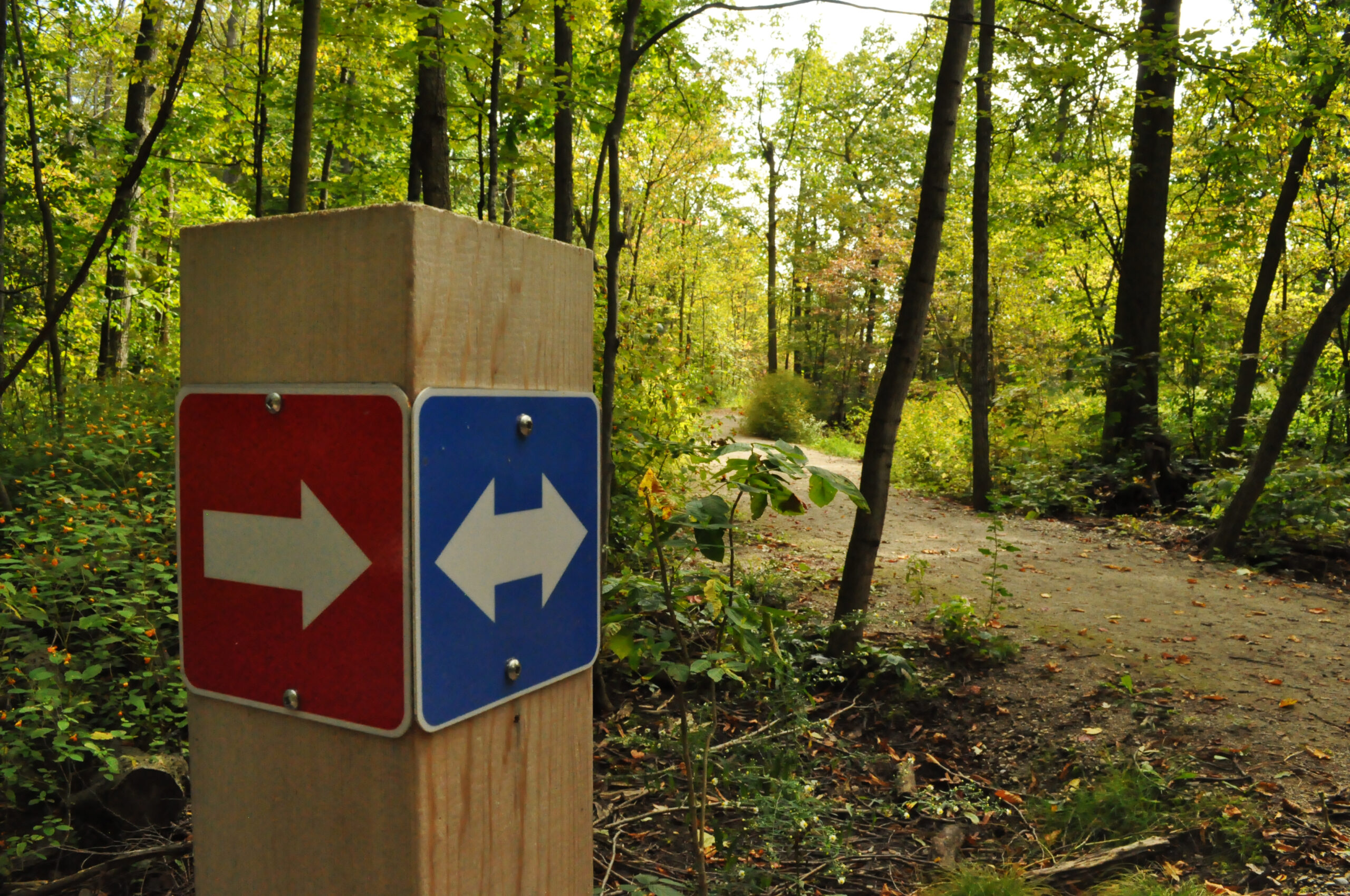
    The Township of Wilmot approved the Wilmot Trails Master Plan (WTMP) on November 18, 2013.  The Master Plan is intended to guide trail development in the Township as well as municipal projects having trail implications. SDG was retained to prepare an Implementation Plan for WTMP.  The Implementation Plan included: 

    • Detailed design and construction standards for trail types discussed in the WTMP
    • Estimated unit costs for these construction standards including surface types and trail structures (ie. boardwalks and bridges), rural and urban road cross-sections, and signage
    • Trail signage standards (ie. frequency, location, purpose etc.)
    • Trail maintenance standards
    • AODA requirements for trail development and maintenance as applicable
    • An analysis of staff recourses and budget requirements to implement the plan
    • An analysis of the mission and key participants of a Wilmot Trails Advisory Committee and recommendations with respect to its establishment

    The implementation of recommendations in the WTMP over the next 10+ years will see the Township of Wilmot begin to keep pace with growing public demand for high quality, connected trail systems that connect neighbourhoods with places of recreation, shopping and employment.  The Implementation Plan builds upon past and current trail development efforts, and is intended as a blueprint to guide the development, operation, and maintenance of trails throughout the Township of Wilmot in the short, medium, and long term.

    Learn more:

  • Home Farm Collingwood

    Home Farm Development

    The Blue Mountains, ON.

    COMMUNITY DEVELOPMENT  //  VISUAL IMPACT ASSESSMENT

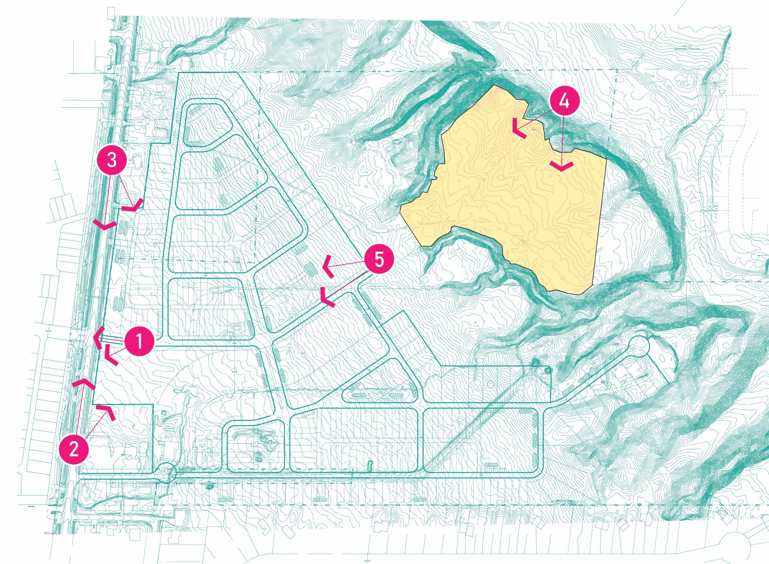
    SDG was retained to prepare a Visual Impact Assessment (VIA) for a subdivision development (dubbed ‘The Home Farm Development’). Located in The Blue Mountains, the property is situated east of Grey County Road 19, south of Highway 26, and directly east of the Craigleith Ski Club. 

    The VIA objectives were to simulate, from selected visual receptors/ viewpoint areas, the visual change to the Escarpment landscape and character, based on the proposed development.  Several objectives included:

    • Develop a clear understanding of the site and its setting in respect of landscape character and visual amenity;
    • Develop an understanding of the proposed development in terms of how this would relate to landscape character and visual amenity;
    • Identify all potential direct and indirect effects of the proposed development upon the open landscape character, visual quality, and the Escarpment feature;
    • Carry out an evaluation of any additional impact management actions that may be necessary to prevent, change or mitigate any negative environmental effects; and
    • Prepare proposed mitigation recommendations for the proposed development based on the net environmental effects.

    Using a combination of ArcGIS with Spatial Analyst, AutoCAD, and SketchUp Pro, our team created a digital terrain model of the subdivision as well as a viewshed map.  The purpose of viewshed mapping is to objectively and accurately identify where proposed structures or built forms would be visible from existing and proposed roads and public lands.  The final VIA report will include very specific NEC recommendation requests that The Blue Mountains will include in the final draft plan, zoning by-law, and servicing or subdivision agreements.

  • Grey County Signage Feature

    Grey County Signage

    Owen Sound, ON.

    SIGNAGE  //  COMMUNITY DEVELOPMENT

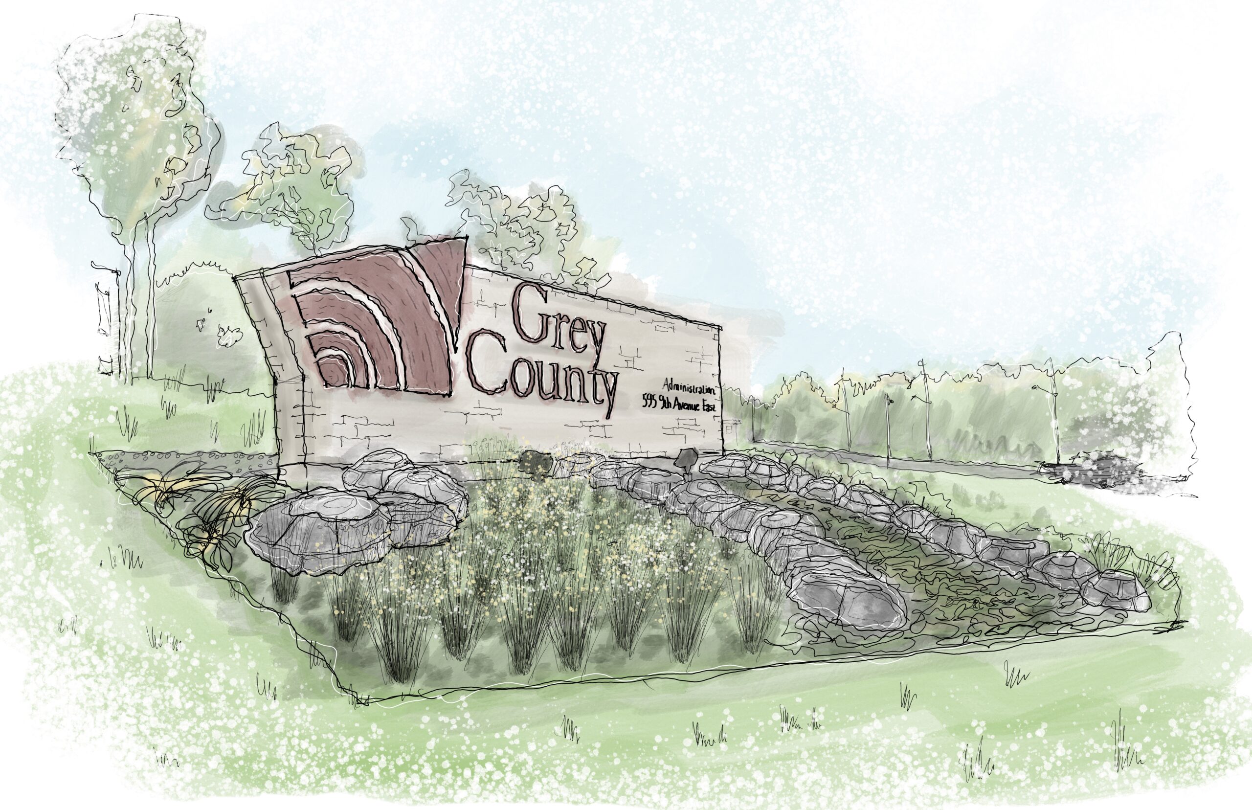
    The practice of rebranding is the ideal way to process self-assessment and re-adjustment, so you can recalibrate and reenergize your brand. Grey County undertook a rebranding within their corporation and as such retained the landscape architectural design services of SDG to redesign four gateway signage features throughout the County, including one prominent sign at the County Administration Building in Owen Sound.

    Our approach to the signage design was to create a modern, yet timeless design that incorporates several aspects of Grey County that make it unique. Our design for the walls included local, quarried stone as the focal point for each sign with the new Grey County logo fabricated from corten steel to create a timeless feel. The design also included local, quarried boulders to represent the Niagara Escarpment. In addition to the sign itself, our design incorporated mass plantings, river stone, and transplanted trees to maximize the presence of the signs while balancing/reducing overall construction costs. Our design for the signage was simple, bold, and clean, which created a memorable space and landmark within the community and the County. 

    Our team worked closely with a local landscape construction company, masons, Owen Sound quarries, a blacksmith, electrical engineers, and an irrigation designer to construct the signage features to represent the community of Grey County locally, regionally, and globally. After approval from Council, the project was completed in November 2013.

  • Scenic Trails

    Scenic Trails

    Hamilton, ON.

    CONDOMINIUM  //  RESIDENTIAL DEVELOPMENT  

    Located at 1 Redfern Avenue, on the highly sought-after Hamilton west mountain brow. Scenic Trails Condominiums is a uniquely designed building for those looking for luxury living with a suburban feel. The mid-rise condo building features 4 stories and 144 units and will be the final touch to this beautiful community.

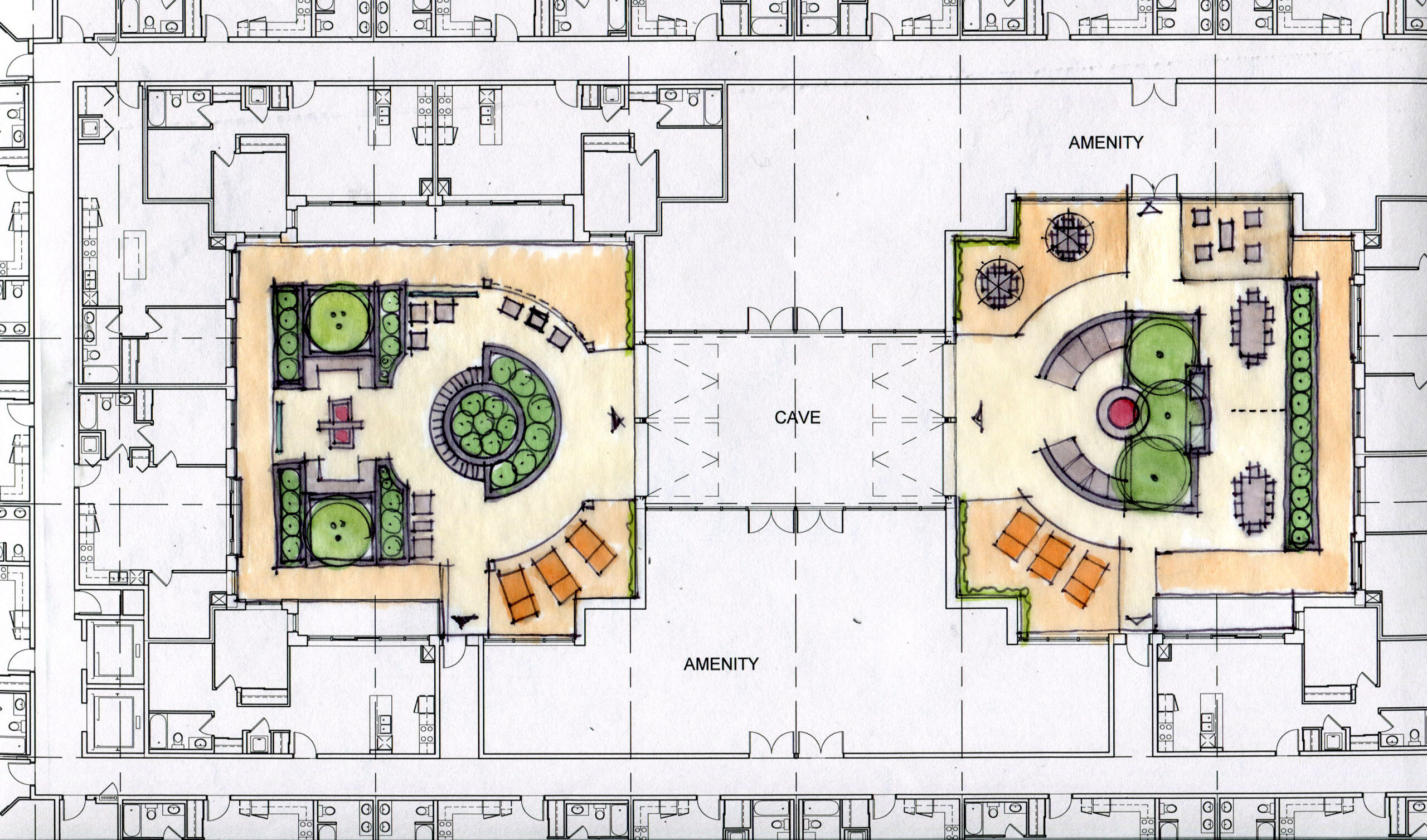
    Our team created a unique and inviting courtyard spaces complete with raised planters, seating, shade structures, entertaining areas, water features, and fire tables. Photos courtesy of Starward Homes.

    Learn more:

  • Maranatha Gardens

    Maranatha Gardens

    Burlington, ON.

    CONDOMINIUM  //  RESIDENTIAL DEVELOPMENT  //  COMMUNITY DEVELOPMENT

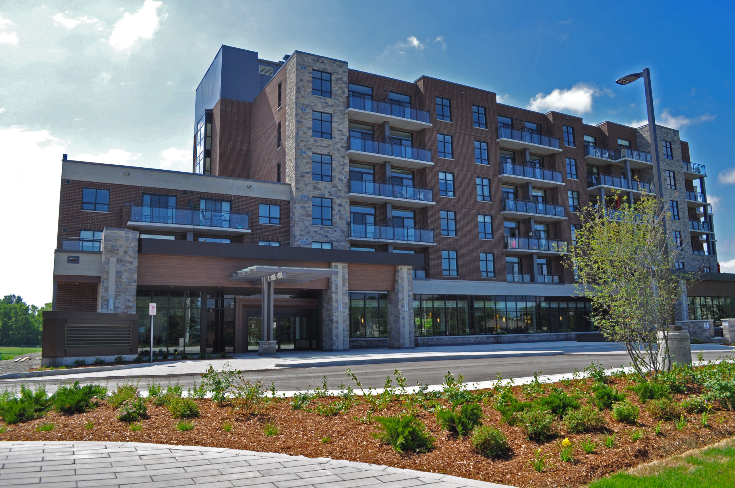
    148-unit life lease apartment building in the heart of mature South Burlington.

    SDG developed landscape plans for this landmark site. 

    Maranatha Gardens, in south Burlington, offers 1-bedroom, 1-bedroom plus den and 2-bedroom life-lease suites. Spacious universal designs with ample living space, wide doorways and hallways and barrier free bathrooms ensure your ability to remain independent, as you transition between the stages of your senior years.

  • Vista Condos

    Vista Condos

    Hamilton, ON.

    CONDOMINIUM  //  RESIDENTIAL DEVELOPMENT

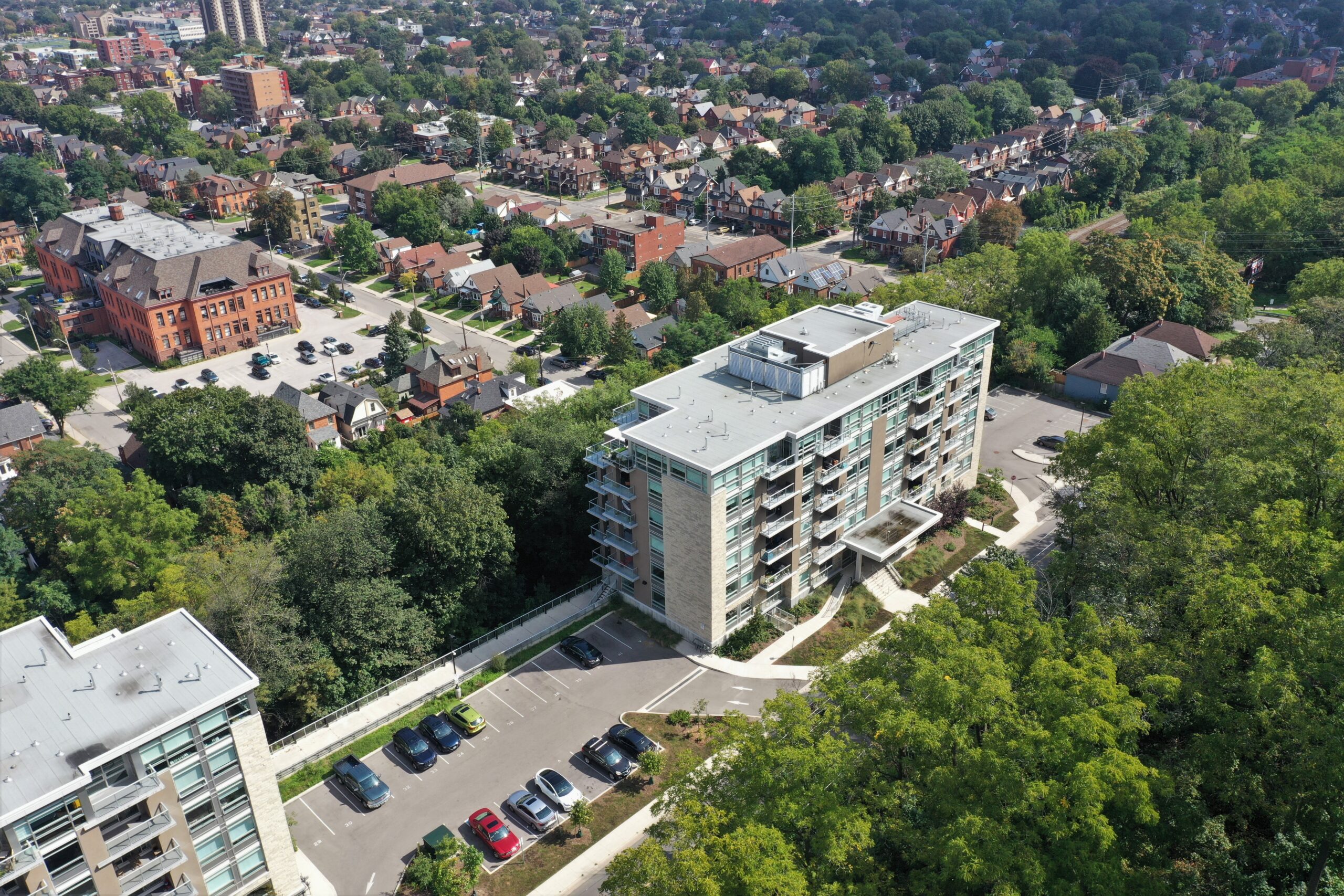
    The 6 story tower with 54 mixed condo units is situated just outside of downtown Hamilton, adjacent to the Niagara Escarpment.

  • West Chedoke Waterfall Platform

    West Chedoke Waterfalls Platform

    Hamilton, ON.

    RECREATIONAL //  TRAIL DEVELOPMENT 

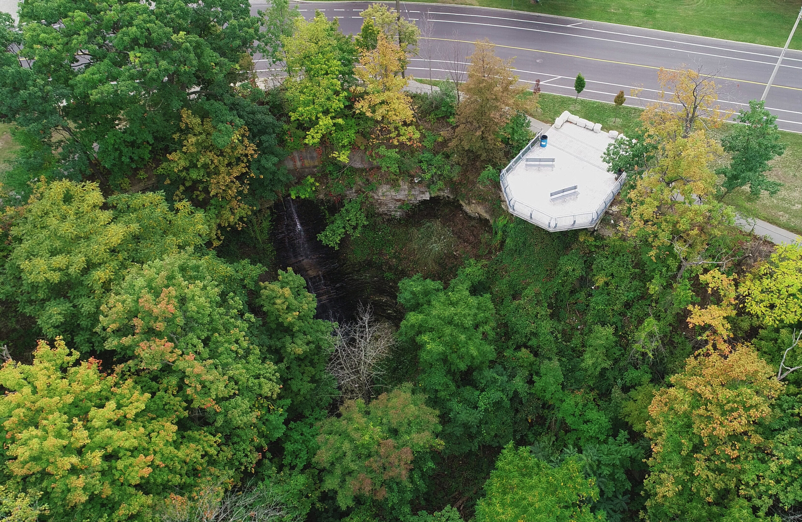
    SDG was retained by the City of Hamilton to design a new viewing platform along Scenic Drive. The platform, which cantilevers over the Escarpment features a large sitting area constructed of stamped concrete, bench for seating, trash receptacles, armour stone, and a decorative steel handrail. The project also included improvements to the adjacent multi-use asphalt trail.

    Learn more:

  • Gage Park Fountain


    Gage Park Restoration

    Hamilton, ON.

    PARK  //  CULTURAL LANDSCAPE  //  HISTORICAL RESTORATION 

    Award of Excellence in Heritage Restoration | City of Hamilton Urban Design & Architecture Awards

    CAHP Award of Excellence – Skilled Partner

    CSLA Inaugural Legacy Project Award

    Canadian Architect | “Hamilton’s Gage Park to receive Inaugural CSLA Legacy Project”

    CSLA/AAPC | “Respecting the Past – Ready for the Future”

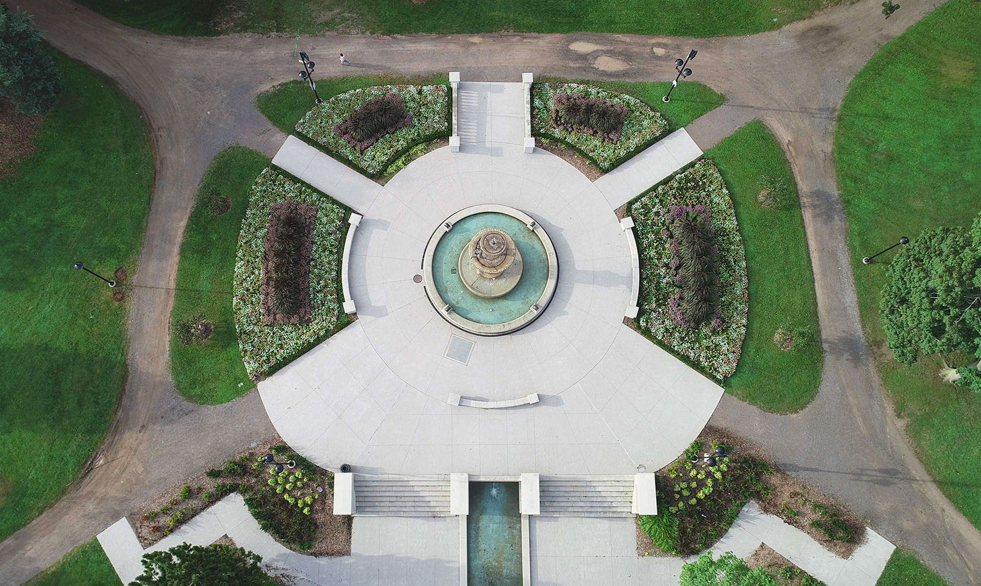
    Gage Park has been a jewel in Hamilton since 1919. Originally designed in a Beaux Arts style by Dunington-Grubb Landscape Architects, the Park has become a social hub within the City. Festivals, lawn bowling, baseball, tennis, and horticultural marvels all have a home in Gage Park.

    The City of Hamilton retained SDG for the Gage Park fountain terraces redevelopment project. The intent was to restore the grand entrance from Main Street into the park to its former glory.

    The SDG team worked closely with historic groups, City staff, and horticultural staff to prepare a design that reflected the vision of the 1919 plan which retained the historic features and design of the park for future generations to enjoy.

    SDG successfully improved the overall safety and accessibility with new ramps connecting upper and lower terraces, enhance the lighting, and lower planting to ensure visibility into the space. Monolithic paving was also implemented to reduce instances of vandalism.

    Learn more:

  • Talbot Trail Place

    Talbot Trail Place

    Blenheim, ON.

    PARK  //  RECREATIONAL PLANNING

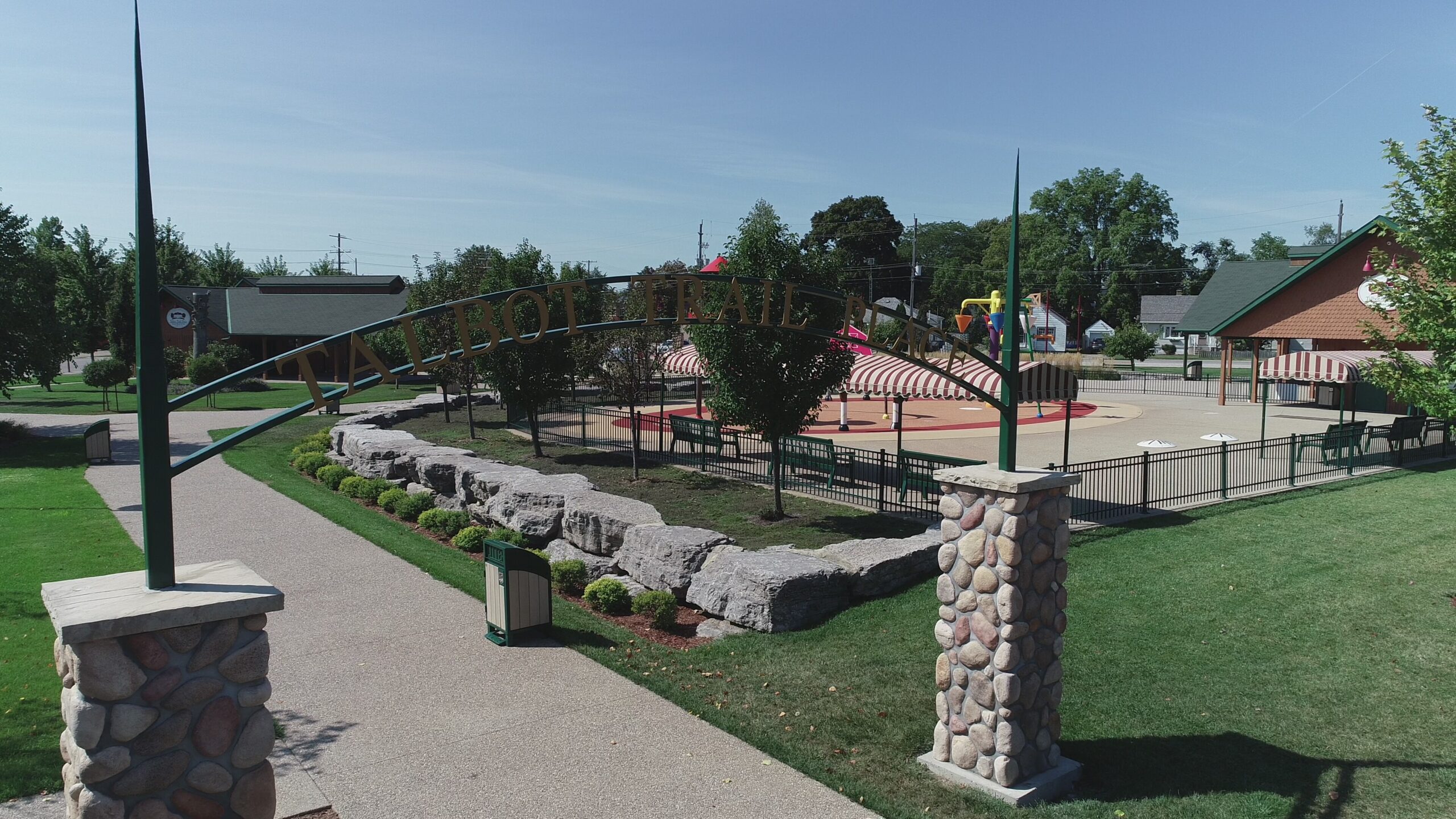
    SDG was retained by the Rotary Club of Blenheim to help develop an overall master plan for this public space.  The overall design included three proposed new buildings to anchor the three corners of the site with connecting walkways, a central fountain, outdoor concert area, splash pad, shuffleboard courts and various seating areas.

    One of the proposed buildings was designed to look like the old pavilion at Government Park in nearby Rondeau, Ontario.  Using old postcard images of the original pavilion, Seferian Design Group created a 3-D model of the proposed building. The land for the park was donated by the Ridge Landfill Community Trust and presently the three structures have been built.